Page Last Updated: September 9, 2022
Links to Other Relevant CRA Quick Link Pages

Rainfall
Flash Flooding Potential
Day 1

Day 2

In the Excessive Rainfall Outlooks, the Weather Prediction Center (WPC) forecasts the probability that rainfall will exceed flash flood guidance (FFG) within 40 kilometers (25 miles) of a point.
You can access downloadable shape and KML files on the NOAA Weather Prediction Page for Excessive Rainfall
Additional Resource Links
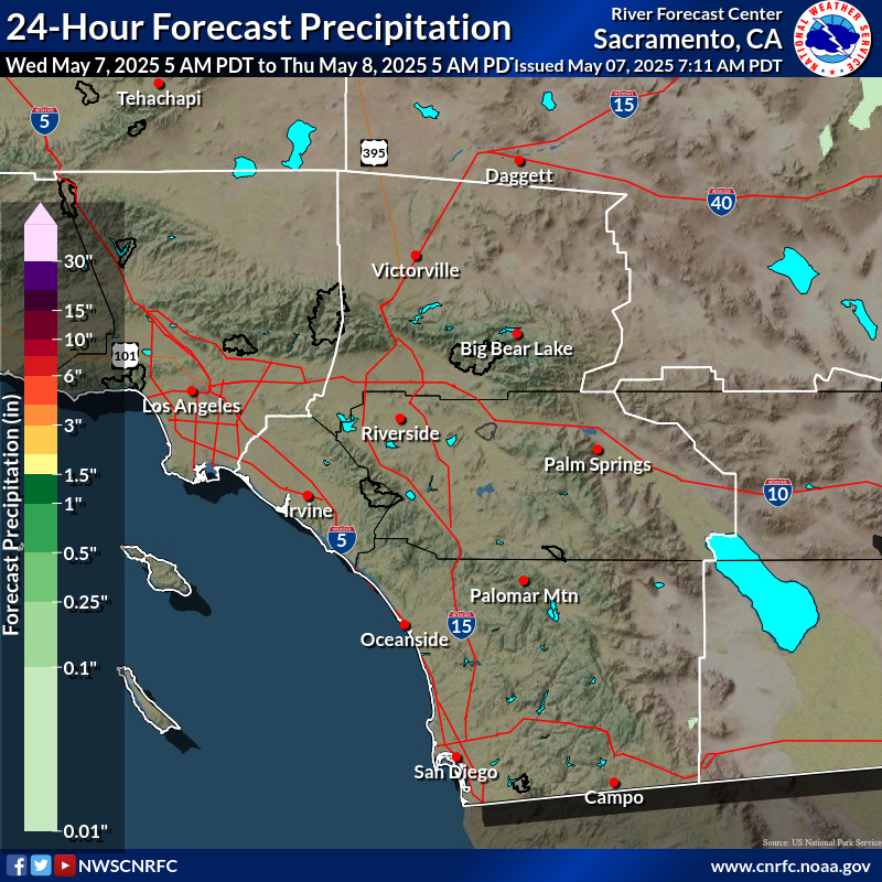
California Nevada River Forecast Center (CNRFC)
CNRFC Maps for Southwest California: Past 1 Hour Past 6 Hours Past 24 Hours
County Rainfall Maps
Los Angeles County Department of Public Works Rainfall Map (note the Rainfall Data Viewer for this map currently has a scheduled maintenance for 9pm Friday, Sept 9 through 5am Saturday, Sept 10)
Orange County Flood Control District Rainfall Map
Orange County Public Works Rainfall Data Map


